What Affects Rates in Charleston
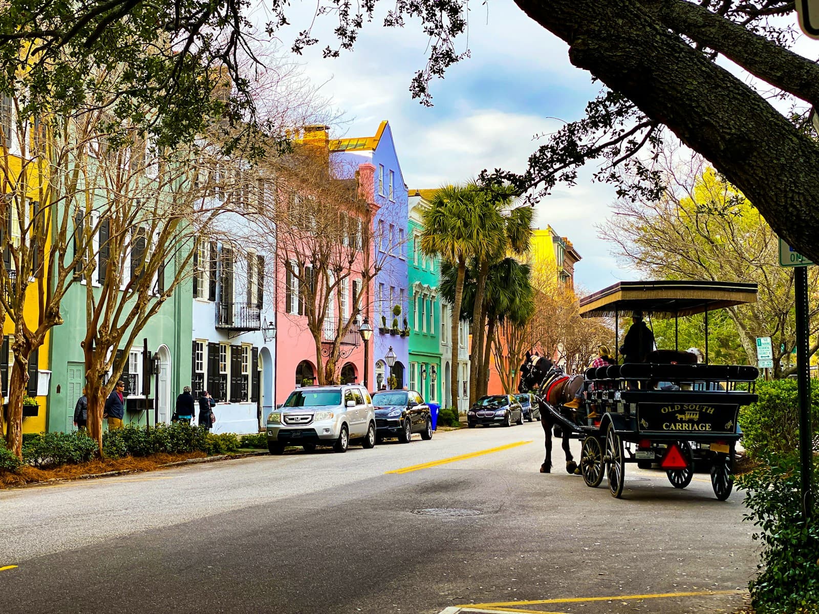
- Downtown Charleston Tourist Congestion: King Street, Meeting Street, and the historic district see heavy pedestrian and vehicle mixing, especially March–October. High-risk drivers face elevated collision premiums in zip codes 29401 and 29403 where tourist-related accidents concentrate.
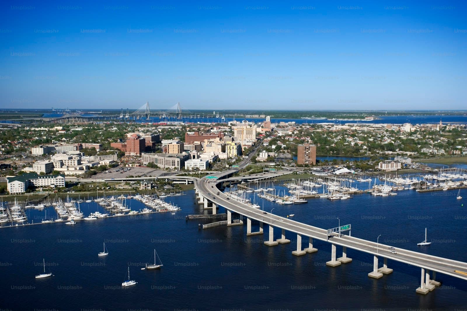
- Hurricane Evacuation Route Density: Charleston sits in a mandatory evacuation zone with limited exit routes via I-26 and US-17. Comprehensive coverage costs more for high-risk drivers due to storm surge and flooding exposure along the peninsula and barrier islands.
- Arthur Ravenel Jr. Bridge Accident Rate: The Ravenel Bridge connecting Charleston to Mount Pleasant sees frequent rear-end collisions and weather-related incidents. Drivers with at-fault accidents already on record pay higher liability premiums when commuting this corridor daily.
- Charleston County Court Processing Times: DUI and reckless driving cases processed through Charleston County Summary Court can take 4–8 months to resolve. SR-22 filing deadlines begin at conviction, but insurers quote high-risk rates immediately after arrest when drivers shop early.
- Uninsured Motorist Concentration in North Charleston: North Charleston zip codes 29405 and 29418 have higher uninsured driver concentrations. High-risk drivers in these areas see uninsured motorist coverage priced 15–25% higher than in Mount Pleasant or Daniel Island.
Compare rates from carriers that work with drivers who have points
Standard carriers surcharge heavily after violations. These specialists price your specific record differently.
Get Your Free QuoteCoverage Recommendations
Cost estimates are based on available industry data and vary by driver profile. These are not insurance quotes.
SR-22 Insurance
South Carolina requires SR-22 filing for DUI convictions, reckless driving, driving under suspension, and at-fault accidents while uninsured. The certificate itself costs $25–$50, but the underlying high-risk policy drives the total monthly premium to $180–$350/mo in Charleston based on your specific violation.
$25–$50 filing + high-risk premiumEstimated range only. Not a quote.
Non-Standard Auto Insurance
If standard carriers decline coverage after multiple DUIs, license suspensions over 90 days, or three at-fault accidents, non-standard carriers writing Charleston include The General, Acceptance, and Safe Auto. Monthly premiums run $220–$450/mo depending on violation severity and required limits.
$220–$450/mo typicalEstimated range only. Not a quote.
Liability Insurance
South Carolina minimum liability limits are 25/50/25, but high-risk drivers in Charleston should carry 100/300/100 to protect assets if sued after an at-fault accident. Liability-only policies for SR-22 filers typically cost $140–$280/mo, while 100/300/100 limits add $40–$80/mo over state minimums.
$140–$280/mo for minimum limitsEstimated range only. Not a quote.
Uninsured Motorist Coverage
With 11% of South Carolina drivers uninsured and concentrations higher in North Charleston, uninsured motorist coverage protects high-risk drivers already paying elevated premiums from out-of-pocket costs if hit by an uninsured driver. Coverage costs $15–$35/mo added to your policy in Charleston.
$15–$35/mo additionalEstimated range only. Not a quote.